
Course of the B6318 in orange
_near_Harlow_Hill_-_geograph.org.uk_-_189976.jpg)
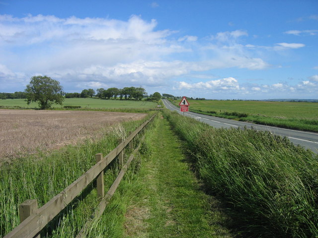
B6318, Near Harlow Hill
The Military Road is a name given locally to part of the B6318 road in Northumberland, England, which runs from Heddon-on-the-Wall (54°59′51″N 1°47′34″W / 54.9974°N 1.7929°W) in the east to Greenhead (54°58′55″N 2°32′04″W / 54.9820°N 2.5344°W) in the west.
It should not be confused with the Roman-built Military Way adjoining Hadrian's Wall to the south.
For much of its length the Military Road is straight and resembles a Roman road. However the term "military road" comes from the building of the road by Hanoverian forces in 1746 in order to suppress the Jacobites to the North. The road is notable as it runs alongside Hadrian's Wall for much of its length, and long stretches of the road are built on the foundations of the wall.
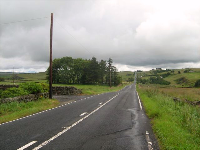
Near Once Brewed, westward
History[]
The construction of the historical Military Road, on which the B6318 partially runs, is cited as one of the most damaging single operations to Hadrian's Wall in recorded history. General George Wade began construction of the road in 1746, in the wake of the recent Jacobite Risings, in which Bonnie Prince Charlie had evaded his forces in Newcastle and been able to attack Carlisle in the west.
In light of this, the road was considered a matter of urgency, as Wade was anxious to move troops from Newcastle to Dumfriesshire and there was no route suitable for troop movements. Much of the material from the wall (primarily limestone and sandstone) was salvaged and used for hardcore in its construction. The topography west of Sewingshields made it necessary for the road to diverge from the wall, thus preserving what remains today.
General Wade was also responsible for a series of highways in Scotland. These include roads at Corrieyairack Pass and Aberfeldy.
See also[]
References[]
- Smith, GH, Excavations near Hadrian's Wall at Tarraby Lane 1976, Britannia, Vol. 9 (1978), pp 19–56
| Wikimedia Commons has media related to Category:B6318 road (Great Britain). |
Coordinates: 55°02′18″N 2°11′41″W / 55.0383°N 2.1948°W
The original article can be found at Military Road (Northumberland) and the edit history here.