| Casco Cove Coast Guard Station LORAN Station Attu (former Naval Air Facility Attu) 
| |||
|---|---|---|---|

| |||
| Closure of LORAN Station Attu, August 2010 | |||
| IATA: ATU – ICAO: PAAT – FAA LID: ATU | |||
| Summary | |||
| Airport type | Private use | ||
| Owner | U.S. Coast Guard 17th Dist. | ||
| Location | Attu Island, Alaska | ||
| Elevation AMSL | 88 ft / 27 m | ||
| Coordinates | 52°49′57″N 173°10′32″E / 52.8325°N 173.17556°ECoordinates: 52°49′57″N 173°10′32″E / 52.8325°N 173.17556°E | ||
| Map | |||
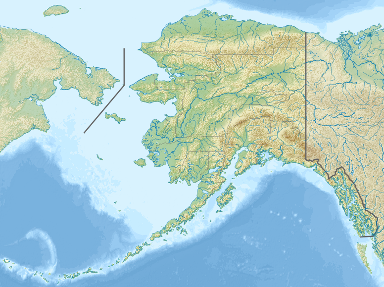 ATU | |||
| Runways | |||
| Direction | Length | Surface | |
| ft | m | ||
| 2/20 | 5,998 | 1,828 | Asphalt |
| Source: Federal Aviation Administration[1] | |||
Casco Cove Coast Guard Station (IATA: ATU[2], ICAO: PAAT, FAA Location identifier: ATU) is a military facility and private use airfield on Attu Island, one of the Aleutian Islands in the U.S. state of Alaska.[1] Owned by the United States Coast Guard,[1] Casco Cove CGS is located 1,481 miles (2,383 km) west of Anchorage, Alaska. Also known as LORAN Station Attu, the facility was closed on August 27, 2010,[3] but the airfield remains available for emergency use.[1]
History[]
Established as Naval Air Facility Attu on June 7, 1943, just seven days after Attu Island was declared secured.
Overview[]
The Casco Cove Airport was a LORAN navigation station operated by the United States Coast Guard. The USCG personnel lived in a group quarters facility. There were no families stationed at Attu. All services needed for staff in this facility are available. Electricity is provided by USCG Generator. Auxiliary health care is provided by USCG emergency medical staff.
Casco Cove is one of the most isolated and remote airports in the United States. Flying into and taking off from the airport was hazardous, as the weather is characterized by persistently overcast skies, high winds, and frequent cyclonic storms. Winter squalls produce wind gusts in excess of 100 knots. During the summer, extensive fog forms over the Bering Sea and North Pacific.
The island is protected as part of the National Parks Trust territory and few people visit the island or area, as it is restricted.[citation needed] Gun emplacements for over twenty guns are still present around the airfield.
Facilities[]
Casco Cove CGS resides at elevation of 88 feet (27 m) above mean sea level. It has one runway designated 2/20 with an asphalt surface measuring 5,998 by 150 feet (1,828 x 46 m).[1]
Incidents[]
On January 1, 1945, 2nd Lt. Robert L. Nesmith flying from Alexai Point, crashed his Lockheed P-38G-10-LO Lightning in Temnac Valley, just west of Attu Station, while on a low-level training mission over Attu. This aircraft was recovered in 1999 and is now static-restored and on display at Elmendorf AFB.[4]
See also[]
References[]
- ↑ 1.0 1.1 1.2 1.3 1.4 . Federal Aviation Administration. Effective November 15, 2012.
- ↑ "IATA Airport Code Search (ATU: Attu Island / Casco Cove)". International Air Transport Association. http://www.iata.org/publications/Pages/code-search.aspx. Retrieved December 30, 2012.
- ↑ "LORAN Station Attu: The Last Place on Earth". CoastGuardNews.com. September 2, 2010. http://coastguardnews.com/loran-station-attu-the-last-place-on-earth/2010/09/02/.
- ↑ "P-38G-10-LO Lightning Serial Number 42-13400 Nose 95". Pacific Wrecks. October 17, 2009. http://www.pacificwrecks.com/aircraft/p-38/42-13400.html. Retrieved July 17, 2010.
External links[]
- LORAN Station Attu: The Last Place on Earth
- Resources for this airport:
- FAA airport information for ATU
- AirNav airport information for PAAT
- ASN accident history for ATU
- FlightAware airport information and live flight tracker
- SkyVector aeronautical chart for PAAT

| |||||||||||||||||||||||||||||||||||||||||||||||||||

The original article can be found at Casco Cove Coast Guard Station and the edit history here.